
Pont-sur-Seine topographic map
Interactive map
Click on the map to display elevation.
About this map
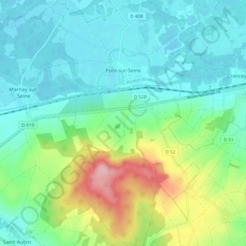
Name: Pont-sur-Seine topographic map, elevation, terrain.
Average elevation: 99 m
Minimum elevation: 60 m
Maximum elevation: 210 m
Située sur la rive gauche de la Seine, à une altitude de 71 m environ, la commune présente une superficie voisine de 16 km2.