
Marcq topographic map
Interactive map
Click on the map to display elevation.
About this map
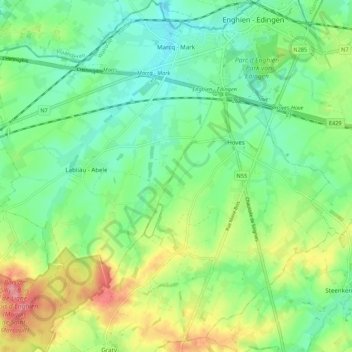
Name: Marcq topographic map, elevation, terrain.
Location: Marcq, Enghien, Ath, Hainaut, Wallonie, Belgique (50.63072 3.96127 50.69941 4.03828)
Average elevation: 69 m
Minimum elevation: 37 m
Maximum elevation: 130 m
Other topographic maps
Click on a map to view its topography, its elevation and its terrain.