
Strijpen topographic map
Interactive map
Click on the map to display elevation.
About this map
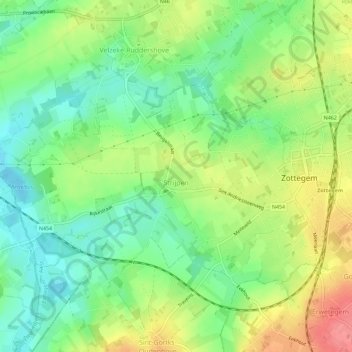
Name: Strijpen topographic map, elevation, terrain.
Location: Strijpen, Zottegem, Aalst, Oost-Vlaanderen, Vlaanderen, België (50.85852 3.76067 50.88070 3.81744)
Average elevation: 48 m
Minimum elevation: 17 m
Maximum elevation: 90 m