
Daniel Boone National Forest topographic map
Interactive map
Click on the map to display elevation.
About this map
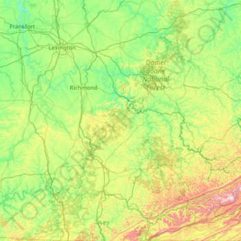
Name: Daniel Boone National Forest topographic map, elevation, terrain.
Average elevation: 341 m
Minimum elevation: 146 m
Maximum elevation: 1,245 m