
Ala-Kul Lake topographic map
Interactive map
Click on the map to display elevation.
About this map
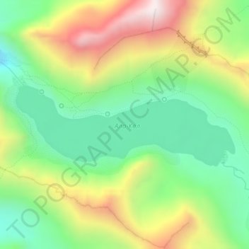
Name: Ala-Kul Lake topographic map, elevation, terrain.
Location: Ala-Kul Lake, Karakol, Issyk-Kul Region, Kyrgyzstan (42.31349 78.51928 42.32221 78.55167)
Average elevation: 3,701 m
Minimum elevation: 3,369 m
Maximum elevation: 4,204 m