
Thousand Islands National Park (Mallorytown Landing) topographic map
Interactive map
Click on the map to display elevation.
About this map
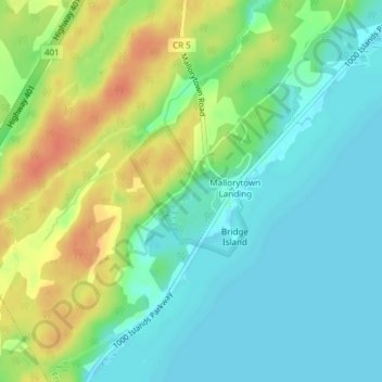
Name: Thousand Islands National Park (Mallorytown Landing) topographic map, elevation, terrain.
Average elevation: 89 m
Minimum elevation: 72 m
Maximum elevation: 116 m