
Berrien County topographic map
Interactive map
Click on the map to display elevation.
About this map
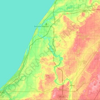
Name: Berrien County topographic map, elevation, terrain.
Location: Berrien County, Michigan, États-Unis d'Amérique (41.75955 -86.82543 42.24350 -86.22280)
Average elevation: 207 m
Minimum elevation: 172 m
Maximum elevation: 278 m