
Virton topographic map
Interactive map
Click on the map to display elevation.
About this map
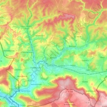
Name: Virton topographic map, elevation, terrain.
Location: Virton, Luxemburg, Wallonië, België (49.50595 5.50140 49.63943 5.64418)
Average elevation: 284 m
Minimum elevation: 185 m
Maximum elevation: 403 m