
Casale topographic map
Interactive map
Click on the map to display elevation.
About this map
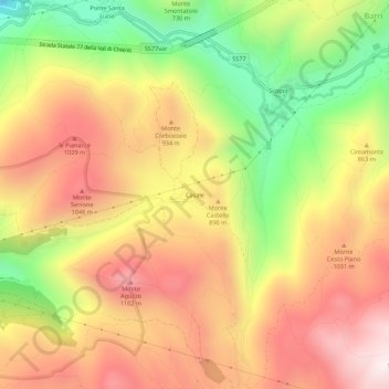
Name: Casale topographic map, elevation, terrain.
Location: Casale, Foligno, Perugia, Umbrien, 06034, Italien (42.94202 12.77726 42.98202 12.81726)
Average elevation: 812 m
Minimum elevation: 339 m
Maximum elevation: 1,202 m