
Shuni topographic map
Interactive map
Click on the map to display elevation.
About this map
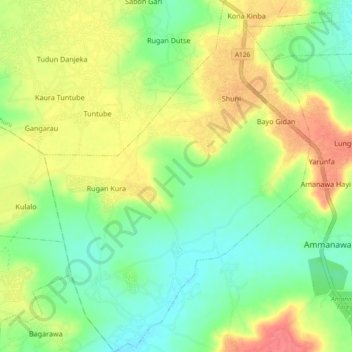
Name: Shuni topographic map, elevation, terrain.
Location: Shuni, Dange-Shuni, Sokoto, Nigeria (12.88094 5.23620 12.97098 5.30614)
Average elevation: 301 m
Minimum elevation: 274 m
Maximum elevation: 336 m