
South Holland topographic map
Interactive map
Click on the map to display elevation.
About this map
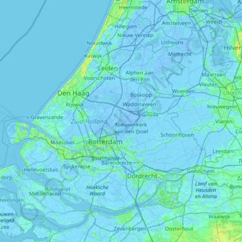
Name: South Holland topographic map, elevation, terrain.
Location: South Holland, Netherlands, The Netherlands (51.64378 3.77368 52.33251 5.03142)
Average elevation: 0 m
Minimum elevation: -8 m
Maximum elevation: 35 m
Other topographic maps
Click on a map to view its topography, its elevation and its terrain.
The Hague
The Netherlands > South Holland > The Hague
The Hague, South Holland, Netherlands, The Netherlands
Average elevation: 2 m