
Marston topographic map
Interactive map
Click on the map to display elevation.
About this map
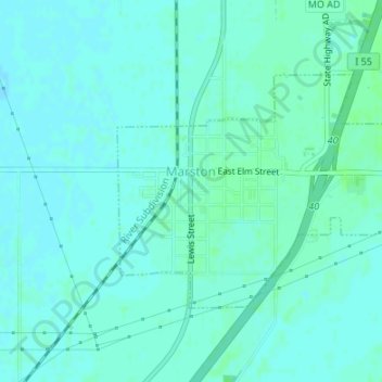
Name: Marston topographic map, elevation, terrain.
Location: Marston, New Madrid County, Missouri, 63866, United States (36.50928 -89.61907 36.52581 -89.59142)
Average elevation: 88 m
Minimum elevation: 85 m
Maximum elevation: 92 m
Other topographic maps
Click on a map to view its topography, its elevation and its terrain.
Portageville
United States > Missouri > New Madrid County
Portageville, New Madrid County, Missouri, United States
Average elevation: 86 m
Jaywye
United States > Missouri > New Madrid County > Jaywye
Jaywye, New Madrid County, Missouri, United States
Average elevation: 85 m
Hurricane Ridge
United States > Missouri > New Madrid County
Hurricane Ridge, New Madrid County, Missouri, 63833, United States
Average elevation: 86 m