
Maazouza topographic map
Interactive map
Click on the map to display elevation.
About this map
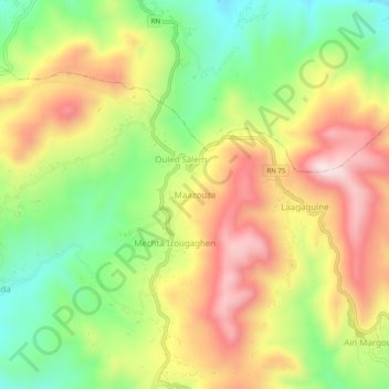
Name: Maazouza topographic map, elevation, terrain.
Location: Maazouza, Maoklane, Daïra Maouklane, Sétif, Algérie (36.41037 5.08191 36.45037 5.12191)
Average elevation: 1,004 m
Minimum elevation: 781 m
Maximum elevation: 1,245 m