
Kanekes topographic map
Interactive map
Click on the map to display elevation.
About this map
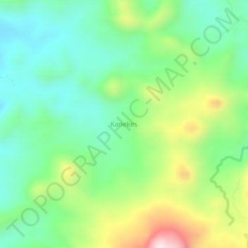
Name: Kanekes topographic map, elevation, terrain.
Location: Kanekes, Lebak, Banten, Indonesia (-6.67098 106.23115 -6.63098 106.27115)
Average elevation: 480 m
Minimum elevation: 312 m
Maximum elevation: 825 m