
Granges-Aumontzey topographic map
Interactive map
Click on the map to display elevation.
About this map
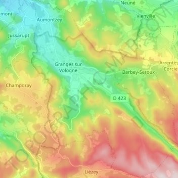
Name: Granges-Aumontzey topographic map, elevation, terrain.
Average elevation: 657 m
Minimum elevation: 447 m
Maximum elevation: 954 m
Other topographic maps
Click on a map to view its topography, its elevation and its terrain.
Granges-sur-Vologne
France > Grand Est > Granges-Aumontzey
Granges-sur-Vologne, Granges-Aumontzey, Saint-Dié-des-Vosges, Vosges, Grand Est, France métropolitaine, 88640, France
Average elevation: 679 m