
Lo-Reninge topographic map
Interactive map
Click on the map to display elevation.
About this map
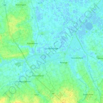
Name: Lo-Reninge topographic map, elevation, terrain.
Location: Lo-Reninge, Diksmuide, West-Vlaanderen, Vlaanderen, 8647, België (50.90139 2.69638 51.01700 2.85655)
Average elevation: 5 m
Minimum elevation: -3 m
Maximum elevation: 25 m