
Sandnes topographic map
Interactive map
Click on the map to display elevation.
About this map
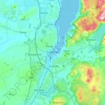
Name: Sandnes topographic map, elevation, terrain.
Location: Sandnes, Rogaland, 4306, Norway (58.81167 5.69672 58.89167 5.77672)
Average elevation: 61 m
Minimum elevation: 0 m
Maximum elevation: 333 m