
Norton topographic map
Interactive map
Click on the map to display elevation.
About this map
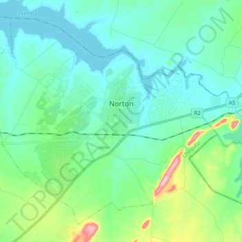
Name: Norton topographic map, elevation, terrain.
Location: Norton, Chegutu, Mashonaland West Province, Zimbabwe (-17.94501 30.61506 -17.82430 30.76320)
Average elevation: 1,372 m
Minimum elevation: 1,340 m
Maximum elevation: 1,500 m