
Awendaw topographic map
Interactive map
Click on the map to display elevation.
About this map
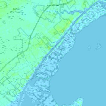
Name: Awendaw topographic map, elevation, terrain.
Location: Awendaw, Charleston County, South Carolina, United States (32.92510 -79.71887 33.04314 -79.59266)
Average elevation: 1 m
Minimum elevation: -4 m
Maximum elevation: 10 m