
Pail topographic map
Interactive map
Click on the map to display elevation.
About this map
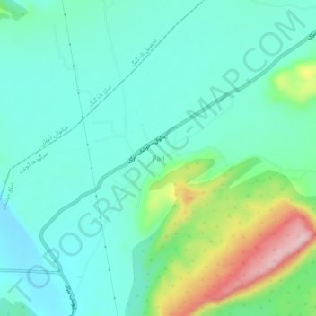
Name: Pail topographic map, elevation, terrain.
Location: Pail, Sargodha District, Punjab, 41000, Pakistan (32.61441 72.44225 32.65441 72.48225)
Average elevation: 831 m
Minimum elevation: 770 m
Maximum elevation: 1,020 m