
Hamlin topographic map
Interactive map
Click on the map to display elevation.
About this map
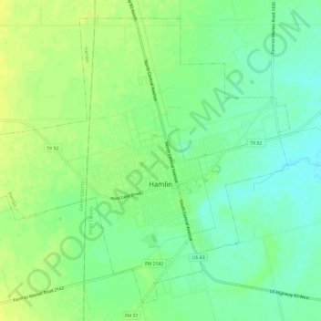
Name: Hamlin topographic map, elevation, terrain.
Location: Hamlin, Jones County, Texas, 79520, United States (32.86617 -100.16508 32.91049 -100.10566)
Average elevation: 526 m
Minimum elevation: 516 m
Maximum elevation: 535 m