
Old Mutare topographic map
Interactive map
Click on the map to display elevation.
About this map
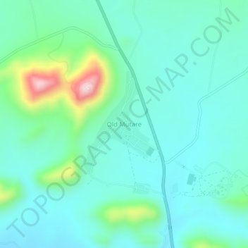
Name: Old Mutare topographic map, elevation, terrain.
Location: Old Mutare, Mutasa, Manicaland Province, Zimbabwe (-18.90660 32.56447 -18.86660 32.60447)
Average elevation: 1,135 m
Minimum elevation: 1,062 m
Maximum elevation: 1,422 m
Other topographic maps
Click on a map to view its topography, its elevation and its terrain.
Penhalonga
Zimbabwe > Manicaland Province > Mutasa
Penhalonga, Mutasa, Manicaland Province, Zimbabwe
Average elevation: 1,239 m