
Engesland topographic map
Interactive map
Click on the map to display elevation.
About this map
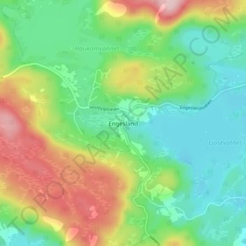
Name: Engesland topographic map, elevation, terrain.
Location: Engesland, Birkenes, Agder, 4768, Norway (58.51142 8.09817 58.55142 8.13817)
Average elevation: 296 m
Minimum elevation: 215 m
Maximum elevation: 444 m