
Kondagaon topographic map
Interactive map
Click on the map to display elevation.
About this map
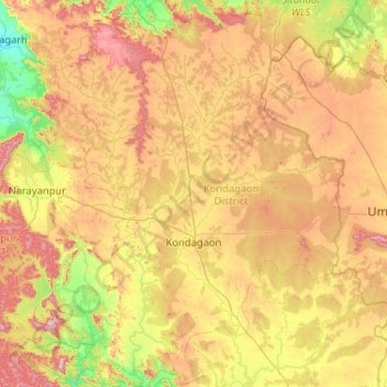
Name: Kondagaon topographic map, elevation, terrain.
Location: Kondagaon, Chhattisgarh, India (19.22169 81.29291 20.19117 82.05988)
Average elevation: 605 m
Minimum elevation: 386 m
Maximum elevation: 990 m
Other topographic maps
Click on a map to view its topography, its elevation and its terrain.