
Dhula topographic map
Interactive map
Click on the map to display elevation.
About this map
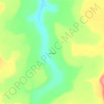
Name: Dhula topographic map, elevation, terrain.
Location: Dhula, Ad Dale'ah District, Hadramaut Governorate, Yemen (14.99706 47.99661 15.03706 48.03661)
Average elevation: 1,414 m
Minimum elevation: 1,369 m
Maximum elevation: 1,470 m