
Mahole topographic map
Interactive map
Click on the map to display elevation.
About this map
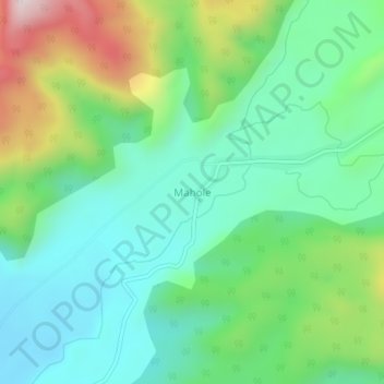
Name: Mahole topographic map, elevation, terrain.
Location: Mahole, Kupe-Muanenguba, Southwest, Cameroon (4.80325 9.59617 4.84325 9.63617)
Average elevation: 439 m
Minimum elevation: 242 m
Maximum elevation: 905 m