
Storrs topographic map
Interactive map
Click on the map to display elevation.
About this map
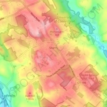
Name: Storrs topographic map, elevation, terrain.
Location: Storrs, Tolland County, Connecticut, USA (41.78383 -72.28426 41.82748 -72.21734)
Average elevation: 165 m
Minimum elevation: 79 m
Maximum elevation: 226 m