
Zaveh topographic map
Interactive map
Click on the map to display elevation.
About this map
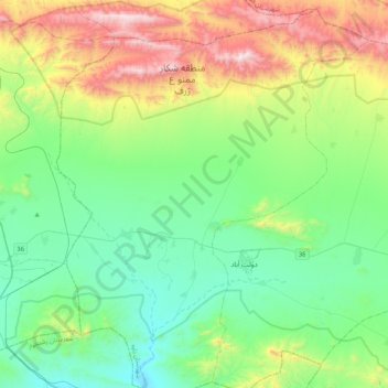
Name: Zaveh topographic map, elevation, terrain.
Location: Zaveh, بخش مرکزی, Zaveh County, Razavi Khorasan Province, Iran (35.17274 59.32025 35.51330 59.62637)
Average elevation: 1,614 m
Minimum elevation: 1,234 m
Maximum elevation: 2,588 m