
East Northwall Firn topographic map
Interactive map
Click on the map to display elevation.
About this map
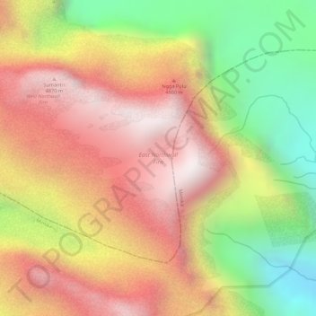
Name: East Northwall Firn topographic map, elevation, terrain.
Location: East Northwall Firn, Mimika, Papua, Indonesia (-4.07130 137.17448 -4.06152 137.19017)
Average elevation: 4,388 m
Minimum elevation: 3,833 m
Maximum elevation: 4,796 m
Other topographic maps
Click on a map to view its topography, its elevation and its terrain.