
Arrah topographic map
Interactive map
Click on the map to display elevation.
About this map
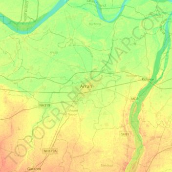
Name: Arrah topographic map, elevation, terrain.
Location: Arrah, Bhojpur, Bihar, 802300, India (25.39969 84.50129 25.71969 84.82129)
Average elevation: 59 m
Minimum elevation: 43 m
Maximum elevation: 75 m