
Sterling Heights topographic map
Interactive map
Click on the map to display elevation.
About this map
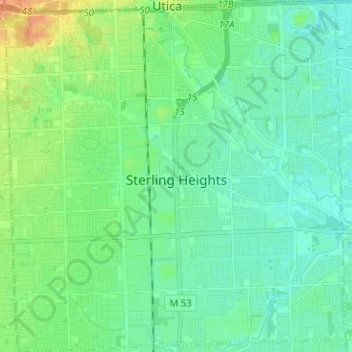
Name: Sterling Heights topographic map, elevation, terrain.
Location: Sterling Heights, Macomb County, Michigan, USA (42.53479 -83.09144 42.62781 -82.96964)
Average elevation: 191 m
Minimum elevation: 181 m
Maximum elevation: 215 m