
Murawi topographic map
Interactive map
Click on the map to display elevation.
About this map
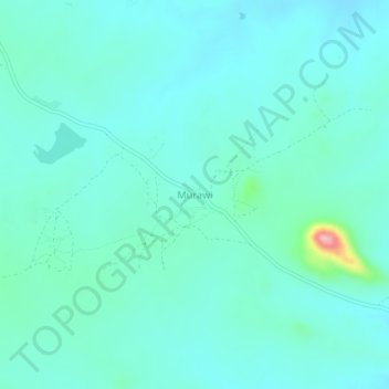
Name: Murawi topographic map, elevation, terrain.
Location: Murawi, Mwenezi, Masvingo, Zimbabwe (-20.85049 30.51495 -20.81049 30.55495)
Average elevation: 694 m
Minimum elevation: 666 m
Maximum elevation: 855 m