
De Maat topographic map
Interactive map
Click on the map to display elevation.
About this map
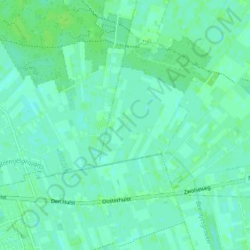
Name: De Maat topographic map, elevation, terrain.
Location: De Maat, Overijssel, Netherlands, 7707RN, Netherlands (52.58369 6.29021 52.62369 6.33021)
Average elevation: 4 m
Minimum elevation: 0 m
Maximum elevation: 8 m