
Thayngen topographic map
Interactive map
Click on the map to display elevation.
About this map
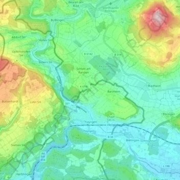
Name: Thayngen topographic map, elevation, terrain.
Location: Thayngen, Schaffhausen, Switzerland (47.72148 8.64525 47.80045 8.74142)
Average elevation: 524 m
Minimum elevation: 418 m
Maximum elevation: 809 m