
Auderghem - Oudergem topographic map
Interactive map
Click on the map to display elevation.
About this map
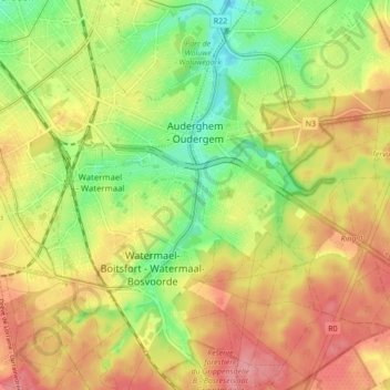
Name: Auderghem - Oudergem topographic map, elevation, terrain.
Location: Auderghem - Oudergem, Brussels-Capital, 1160, Belgium (50.78974 4.39593 50.82689 4.48228)
Average elevation: 91 m
Minimum elevation: 42 m
Maximum elevation: 136 m