
Lakewood topographic map
Interactive map
Click on the map to display elevation.
About this map
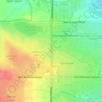
Name: Lakewood topographic map, elevation, terrain.
Location: Lakewood, Jefferson County, Colorado, USA (39.62697 -105.11032 39.63519 -105.10987)
Average elevation: 1,717 m
Minimum elevation: 1,681 m
Maximum elevation: 1,758 m