
Bathrait topographic map
Interactive map
Click on the map to display elevation.
About this map
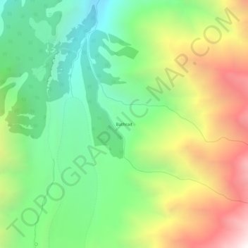
Name: Bathrait topographic map, elevation, terrain.
Location: Bathrait, Diāmir District, Gilgit-Baltistan, Pakistan (35.35215 74.57485 35.39215 74.61485)
Average elevation: 3,668 m
Minimum elevation: 2,911 m
Maximum elevation: 4,842 m