
Maasmechelen topographic map
Interactive map
Click on the map to display elevation.
About this map
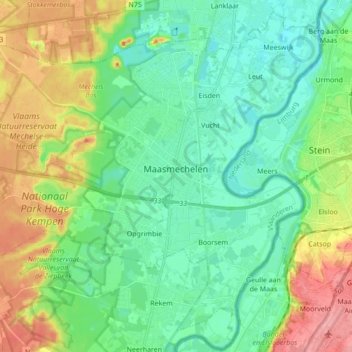
Name: Maasmechelen topographic map, elevation, terrain.
Location: Maasmechelen, Tongeren, Limburg, Flanders, Belgium (50.91037 5.59517 51.01227 5.76767)
Average elevation: 57 m
Minimum elevation: 27 m
Maximum elevation: 119 m