
Panthaghatti topographic map
Interactive map
Click on the map to display elevation.
About this map
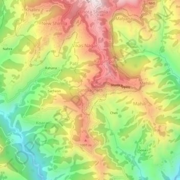
Name: Panthaghatti topographic map, elevation, terrain.
Location: Panthaghatti, Solan, Himachal Pradesh, 171009, India (31.04968 77.15963 31.08968 77.19963)
Average elevation: 1,746 m
Minimum elevation: 1,316 m
Maximum elevation: 2,190 m