
Angara topographic map
Interactive map
Click on the map to display elevation.
About this map
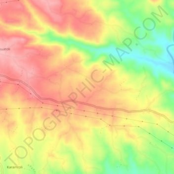
Name: Angara topographic map, elevation, terrain.
Location: Angara, Ranchi, Jharkhand, 835104, India (23.37740 85.51750 23.41740 85.55750)
Average elevation: 562 m
Minimum elevation: 479 m
Maximum elevation: 620 m