
Hillsboro topographic map
Interactive map
Click on the map to display elevation.
About this map
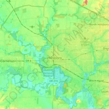
Name: Hillsboro topographic map, elevation, terrain.
Location: Hillsboro, Washington County, Oregon, USA (45.48602 -123.01181 45.57580 -122.85954)
Average elevation: 53 m
Minimum elevation: 33 m
Maximum elevation: 93 m