
Olèrdola topographic map
Interactive map
Click on the map to display elevation.
About this map
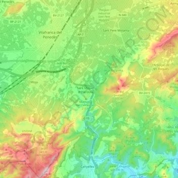
Name: Olèrdola topographic map, elevation, terrain.
Location: Olèrdola, Alt Penedès, BCN, Catalonia, 08734, Spain (41.28043 1.68155 41.36213 1.76810)
Average elevation: 227 m
Minimum elevation: 79 m
Maximum elevation: 460 m