
Glascoed topographic map
Interactive map
Click on the map to display elevation.
About this map
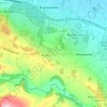
Name: Glascoed topographic map, elevation, terrain.
Location: Glascoed, Denbighshire, Wales, LL22 9DG, United Kingdom (53.23328 -3.53032 53.27328 -3.49032)
Average elevation: 85 m
Minimum elevation: 6 m
Maximum elevation: 274 m