
Brong-Ahafo Region topographic map
Interactive map
Click on the map to display elevation.
About this map
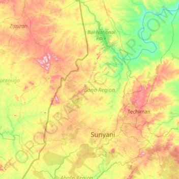
Name: Brong-Ahafo Region topographic map, elevation, terrain.
Location: Brong-Ahafo Region, Ghana (6.38721 -3.10975 8.78658 0.20756)
Average elevation: 203 m
Minimum elevation: 22 m
Maximum elevation: 819 m
Other topographic maps
Click on a map to view its topography, its elevation and its terrain.