
Thika topographic map
Interactive map
Click on the map to display elevation.
About this map
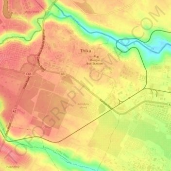
Name: Thika topographic map, elevation, terrain.
Location: Thika, Kiambu County, Central Kenya, Kenya (-1.06681 37.06418 -1.02711 37.11488)
Average elevation: 1,495 m
Minimum elevation: 1,445 m
Maximum elevation: 1,519 m