
Sogndal topographic map
Interactive map
Click on the map to display elevation.
About this map
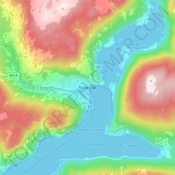
Name: Sogndal topographic map, elevation, terrain.
Location: Sogndal, Vestland, 6856, Norway (61.19104 7.05309 61.27104 7.13309)
Average elevation: 316 m
Minimum elevation: 0 m
Maximum elevation: 916 m