
Loksado topographic map
Interactive map
Click on the map to display elevation.
About this map
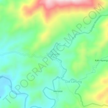
Name: Loksado topographic map, elevation, terrain.
Location: Loksado, Hulu Sungai Selatan, South Kalimantan, Indonesia (-2.81468 115.47602 -2.77468 115.51602)
Average elevation: 307 m
Minimum elevation: 157 m
Maximum elevation: 612 m