
Angwa River topographic map
Interactive map
Click on the map to display elevation.
About this map
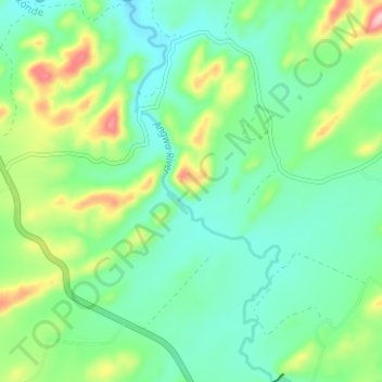
Name: Angwa River topographic map, elevation, terrain.
Location: Angwa River, Makonde, Mashonaland West, Zimbabwe (-17.17057 29.94250 -17.11069 29.96728)
Average elevation: 1,130 m
Minimum elevation: 1,076 m
Maximum elevation: 1,263 m
Other topographic maps
Click on a map to view its topography, its elevation and its terrain.