
Gunung Keledang topographic map
Interactive map
Click on the map to display elevation.
About this map
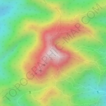
Name: Gunung Keledang topographic map, elevation, terrain.
Location: Gunung Keledang, Ipoh, Kinta, Perak, Malaysia (4.59438 101.01344 4.59448 101.01354)
Average elevation: 450 m
Minimum elevation: 128 m
Maximum elevation: 797 m