
Bukit Keledang topographic map
Interactive map
Click on the map to display elevation.
About this map
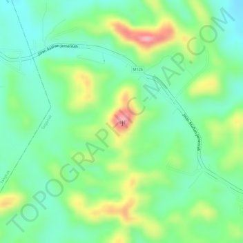
Name: Bukit Keledang topographic map, elevation, terrain.
Location: Bukit Keledang, Segamat, Johor, Malaysia (2.46174 102.64533 2.46184 102.64543)
Average elevation: 83 m
Minimum elevation: 31 m
Maximum elevation: 170 m
Other topographic maps
Click on a map to view its topography, its elevation and its terrain.